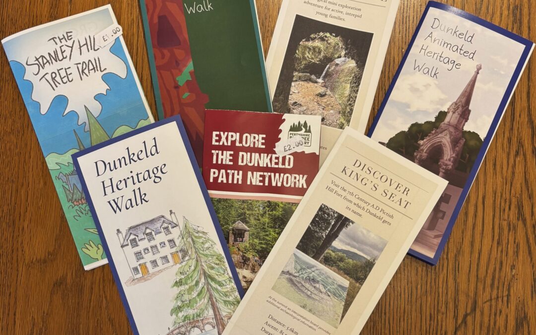
We have lots of different maps for sale here in the archive, pop in to explore the options. From history to beautiful views there is a variety to suit everyone!
The Stanley Hill trail and animated heritage walks were produced by Steven Goodison and Studio Puddock, they all feature QR codes which you scan to view short animated films which tell you fun facts. These maps are ideal for children and young people.
The Dunkeld Heritage Walk is a beautifully illustrated map taking you around some of Dunkeld’s most interesting historic features.
The “Discover series” has been created by local map and hillwalking enthusiast James Jarvis, explore off the beaten track and learn as you go.
The Explore the Dunkeld Path Network map covers the majority of the larger scale walks in the area and gives you a clear indication of times and difficulties. Ideal for those wanting to explore more around their local area (and tourists too).